Free online map tools for everyone
Draw radius rings, measure distance and area, map catchments, profile a hike, build Voronoi diagrams, find dark skies or chase the aurora. Everything runs in your browser, and distances and areas are measured on the real globe.
Visitor favorites
Today's tool picks
A better place to meet. A better time to connect.
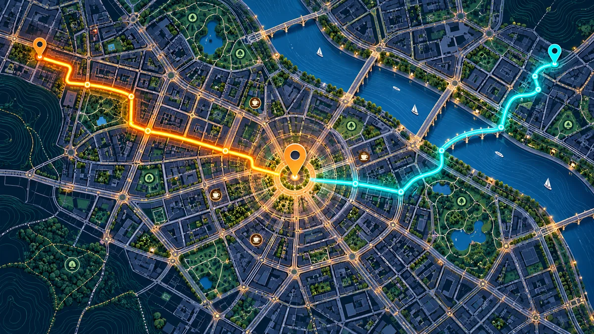 Find your meeting place
Meet Halfway
Coming from different places? Find a fair meeting point, compare travel times and discover cafes nearby.
 Find your shared time
Time Zone Meeting Planner
Different cities, one call. Compare local times and find a meeting window that works across time zones.
Spatial analysis
Measure, buffer, partition and profile places on a map.
Radius Map
Draw circles of any radius around one or many locations, in miles or km, with distance labels and ring areas.
Distance & Area Measure
Measure straight-line distances and the area of any shape directly on the map.
Elevation Profile
UpdatedDraw or import a route to get its elevation profile, total ascent, steepest grade and an estimated hiking time.
Voronoi Diagram Generator
UpdatedTurn a set of locations into Thiessen polygons to see each site’s nearest-neighbor catchment area, with areas in km².
Earth & sky
Terrain, night skies and space weather.
Aurora Forecast 3D
LiveReal-time NOAA space-weather data on a 3D globe. See where the Northern Lights may be visible and how strong solar activity is right now.
Light Pollution Map
UpdatedA world map of artificial night-sky brightness. Click any spot to see how dark the sky is and whether the Milky Way is visible.
3D Satellite Viewer
UpdatedFly over satellite imagery draped on real terrain. Tilt, rotate and orbit, or jump to famous mountains and cities.
World & travel
Midpoints, globes, projections and time zones.
Meet Halfway
Find a fair middle point between two or more places — handy for choosing where to meet.
Time Zone Meeting Planner
Line up time zones across cities and find meeting times that work for everyone.
Antipodes Map
Find the point on the exact opposite side of the Earth from any location.
Map Projections Compared
Compare map projections side by side and see how each one distorts the size and shape of countries.
The Voronoi toolkit
13 tools for Voronoi diagrams, Thiessen polygons and Delaunay triangulation.
Voronoi guide and all toolsMake a diagram
Draw Voronoi cells from your own points — on a blank canvas, a map or the globe.
Design and art
Patterns, mosaics, stippling and procedural maps built from cells.
Geometry
The structures and variations behind the diagram.
Learn
See how a Voronoi diagram forms and why it works.
Convert formats
Switch one point between the formats maps, GPS units and GIS software use.
Find coordinates
Get the latitude and longitude of an address, of a point, or of where you are.
Codes & datums
Short location codes and the coordinate systems used by maps in China.
Lists & measuring
Convert whole lists at once and measure between two points.
What is CityLabMap?
CityLabMap is a collection of map tools that run in your web browser. Each one answers a practical question about a place — how far, how big, how high, who is closest, what time it is there.
You open a tool, work on a live map, and share the result with a link. There is no software to install and no account to create.
The site is made by an urban planner. The same questions that come up in planning work come up when you buy a home, plan a run, open a shop or teach a class, so the tools are built to be clear enough for anyone. More about CityLabMap
- Meet up or travel
- Convert or look up coordinates
- Check a plot or a property
- Map service areas
- Plan a hike or a run
- Stargaze and see the aurora
- Learn and teach geography
- Make patterns and graphics
Built for real map work
Nothing to install
Every tool opens in a normal browser tab on desktop or phone. Your points and routes stay on your device.
Accurate where it matters
Circles are true geodesic distances, areas are measured on the globe, and elevation comes from a global terrain model — not eyeballed on a flat map.
Made by a planner
The tools grew out of everyday urban-planning work: catchments, distances, terrain and context maps that need to be right and look clean. Read the story
Questions
What is CityLabMap?
CityLabMap is a collection of map tools that run in your web browser. Each tool answers one practical question about a place: how far, how big, how high, who is closest, what time it is there. You work on a live map and can share the result with a link.
Who makes CityLabMap?
CityLabMap is built and maintained by Jiang Da, an urban planner with about fifteen years of practice and an independent developer. The tools started as answers to everyday planning questions and are made for anyone who needs them.
Are the CityLabMap tools free?
Yes. Every tool is free to use with no account and no sign-up. Open a tool and start working.
Do I need to install anything?
No. The tools run in a modern web browser on desktop, tablet or phone. Points, routes and settings are kept in your own browser, not on our servers.
Can I share a map I made?
Yes. Most tools have a Copy link button that stores your points, routes, rings or camera view in the link, so anyone who opens it sees the same map.
Which tool should I use to show a service area?
Use the Radius Map for a simple distance ring around one place, and the Voronoi Diagram Generator to split an area between many competing sites, such as stores or schools.
How do I find dark skies for stargazing?
Open the Light Pollution Map, search for your town, and look for black, gray or dark-blue areas nearby. Then check the Aurora Forecast if you are at high latitude.